Atrocity Prevention Lab
The Atrocity Prevention Lab is a project to strengthen innovation, collaboration, and impact of atrocity and conflict prevention work through the integration of spatial methods and technologies. Launched in 2023, this project was established by the Signal Program on Human Security and Technology at the Harvard Humanitarian Initiative.
Harvard Humanitarian Initiative
665 Huntington Ave., Building 1, Office 1113
Boston, MA 02115

Workshop series
The Atrocity Prevention Lab hosted its first iteration of this workshop series in September 2024. The second iteration is currently planned for 2025, with more details to come.

Description
This synchronous workshop series will introduce students to a geospatial methodological workflow that can be applied to real-world issues affecting their organizations, as they relate to conflict and atrocity prevention. Through a combination of synchronous workshops, thematic working groups, discussions, and an online forum, students will be able to explore and envision how the integration of spatial technologies and spatial analytical methods can improve their organizations efforts to understand and prevent atrocities. Participants will be able to learn from and engage with course faculty who are experienced in geospatial analysis and early-warning/early-action systems.
Broad Learning Objectives:
- Transform theoretical frameworks into tangible understanding for how spatial methods can be used in atrocity prevention work.
- Gain familiarity with a general methodological workflow for incorporating spatial methods into atrocity prevention work.
- Strengthen comprehension through practical applications of this workflow to specific topics.
PLEASE NOTE: This course will not teach the technical use of GIS or remote sensing, but will introduce tools, concepts, and techniques used in geospatial analysis, and will support students’ independent use of whichever tools are familiar to them.
Intended Audience
The intended audience for this workshop series includes practitioners, researchers, technologists, policy-makers, and any interested individuals who’d like to develop a framework for applying spatial methods within conflict and atrocity prevention efforts.
Please note that this workshop will be conducted in English.
Format & Duration
This workshop series requires virtual, synchronous participation for 90 minutes, once per week, for 5 weeks. Participants must commit to attending and participating in the entire series.
Core Instructors
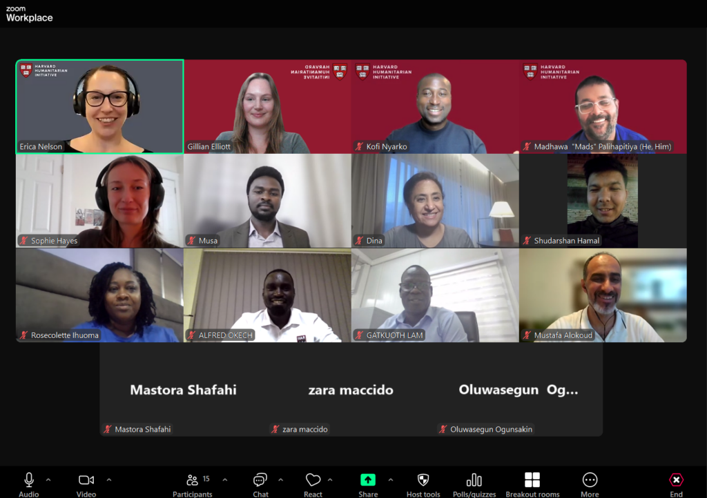
Erica Nelson
Principal Investigator | Signal Program | Harvard Humanitarian Initiative
Gillian Elliott
Project Coordinator | Signal Program | Harvard Humanitarian Initiative
Kofi Nyarko
M&E Consultant | Signal Program | Harvard Humanitarian Initiative
Madhawa Palihapitiya
Early Warning Consultant | Signal Program | Harvard Humanitarian Initiative
Guest Instructors
 Jessie Pechmann | Jessie Pechmann is currently working with the Humanitarian OpenStreetMap Team (HOT) as the Global GIS & IM Lead. Jessie comes to HOT with over 10 years experience in geospatial technology across the public and humanitarian sectors. Immediately previous to HOT, Jessie worked to build IMPACT Initiatives’s GIS portfolio in the Middle East. In Syria, Jessie brought spatial data analysis and mapping tools to humanitarian and rapid needs assessments in Eastern Ghouta, Idleb, and northeast Syria. Jessie later managed IMPACT’s GIS and data team in Iraq, localizing the team and doubling the team’s capacity. Before IMPACT, Jessie was a GIS Project Manager for local government in the US.Jessie loves working with people to incorporate data and mapping into their work to improve workflows and data visualizations. Nothing can tell a story better than a map! She holds a BA in Anthropology from Beloit College, and a Professional Master of Science and Technology with an emphasis in GIS from the University of Utah. |
  Lingbo Liu, PhD | Dr. Lingbo Liu is a Research Associate at the Center for Geographic Analysis at Harvard University (CGA). He was a CGA post-doctoral research fellow, and previously a lecturer in the Department of Urban Planning, School of Urban Design, Wuhan University, and a visiting scholar at Harvard CGA. Lingbo leads the Spatial Data Lab project at the CGA, focusing on the development of advanced geospatial models and an open-source visual programming platform for GeoAI research, as well as training programs to democratize geospatial data science. His research focuses on the study of healthy cities, utilizing advanced geospatial AI models to capture the spatiotemporal features of urban systems. He aims to parse the coupling mechanisms of the space-human system to provide decision support for public policy to make cities healthier. |
  Jeff Blossom Jeff Blossom | Jeff Blossom joined the Center for Geographic Analysis at Harvard in 2007 as a Senior GIS Specialist, and became the GIS Service Manager in 2016. He has experience working in the GIS industry as a technician, analyst, developer, manager, and educator. Jeff earned an M.A. in Geography from the University of Denver in 2002, and a B.S. from Willamette University (OR) in 1995. Jeff’s work experience includes GIS jobs at the Los Alamos National Laboratory, New Mexico, the U.S.G.S. in Lakewood, CO, and the City and County of Denver.Specializations and skill sets:Cartography – Creation of both static and interactive maps for book, journal, and web publications.Data science – Working with researchers from numerous disciplines to extract, analyze, enhance, and visualize both geographic and non-geographic data.Curriculum development – Developing GIS teaching methods, tutorials, and tools that can be used by any student or professional to enhance their work. Related to this effort is the graduate level classes Jeff teaches: Introduction to GIS (Harvard Extension School) and Computer Cartography (Salem State University).See examples of Jeff’s work on his OpenScholar site. |
  Javier Osorio, PhD Javier Osorio, PhD | Dr. Javier Osorio is an Assistant Professor in the School of Government and Public Policy at the University of Arizona. His research interests are centered on understanding the micro-foundations and dynamics of political and criminal violence in Latin America. To approach his research agenda, he uses a robust set of quantitative methods including natural language processing, machine learning, quasi-experimental and experimental techniques, and geographic information systems. His research primarily focuses on Latin America, with particular emphasis on Mexico, Colombia, El Salvador, Guatemala, and Honduras. |